
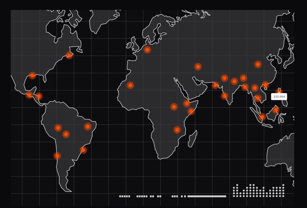
GIS (Geographical Information system)
- Home
- GIS (Geographical Information system)
Services
GIS
(Geographical Information system)
Mapping & Visualization
- Thematic, topographic, and cadastral maps
- 2D and 3D map visualization
- Interactive and web-based map
- Custom cartographic map design

Spatial Data Collection & Management
- GPS / GNSS data integration
- Satellite and aerial imagery processing
- Drone data and orthophoto integration
- Geodatabase design and management

Spatial Analysis & Modeling
- Overlay, buffer, and proximity analysis
- Network and route analysis
- Site suitability and location modeling
- Risk and impact assessment

Urban & Regional Planning
- Land-use and zoning analysis
- Urban master planning support
- Smart city spatial data layers
- Population and infrastructure planning

Infrastructure & Utility Mapping
- Water, sewer, and stormwater networks
- Electricity and telecom GIS mapping
- Pipeline routing and asset mapping
- As-built drawings to GIS conversion

Environmental & Natural Resources
- Environmental Impact Assessment (EIA) support
- Flood, erosion, and watershed mapping
- Agriculture, forestry, and soil mapping
- Climate and sustainability analysis

Surveying & Engineering Integration
- Topographic and bathymetric survey integration
- CAD to GIS data conversion
- Road, rail, and corridor mapping
- Construction and asset monitoring

Disaster & Risk Management
- Flood and hazard risk mapping
- Emergency response planning
- Evacuation and access route analysis
- Post-disaster damage assessment

Web GIS & Enterprise Solutions
- Web-based GIS portals
- Mobile GIS field data collection
- Real-time and IoT data integration
- Enterprise GIS system implementation