Home
Services
Onshore Survey Services
Underground Utility Survey
Offshore & Marine Survey Services
GIS (Geographical Information system)
Technology, Quality & Safety
Contact Us
Home
Services
Onshore Survey Services
Underground Utility Survey
Offshore & Marine Survey Services
GIS (Geographical Information system)
Technology, Quality & Safety
Contact Us
Get Consultation
Home
Services
Onshore Survey Services
Underground Utility Survey
Offshore & Marine Survey Services
GIS (Geographical Information system)
Technology, Quality & Safety
Contact Us
Home
Services
Onshore Survey Services
Underground Utility Survey
Offshore & Marine Survey Services
GIS (Geographical Information system)
Technology, Quality & Safety
Contact Us
Get Consultation
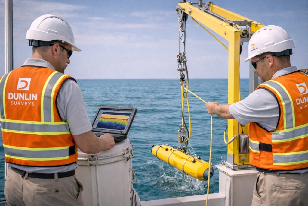
Offshore & Marine Survey Services
Home
Offshore & Marine Survey Services
Services
Offshore & Marine Survey Services
Hydrographic & Bathymetric Survey
Single Beam Echo Sounder surveys
Multibeam Echo Sounder surveys
Seabed modeling & profiling
Sonar Surveys
Side Scan Sonar surveys
Obstruction & debris detection
Seabed condition assessment
Marine Geophysical Survey
(Essential for ports & offshore works)
Sub-bottom profiling (SBP)
Seabed stratigraphy assessment
Offshore foundation & pipeline support
Dredging & Reclamation Survey
Pre-dredge surveys
Post-dredge surveys
Volume & payment calculations
Offshore Positioning & Navigation Support
Marine construction positioning
Barge, dredger & vessel positioning
RTK / GNSS marine positioning
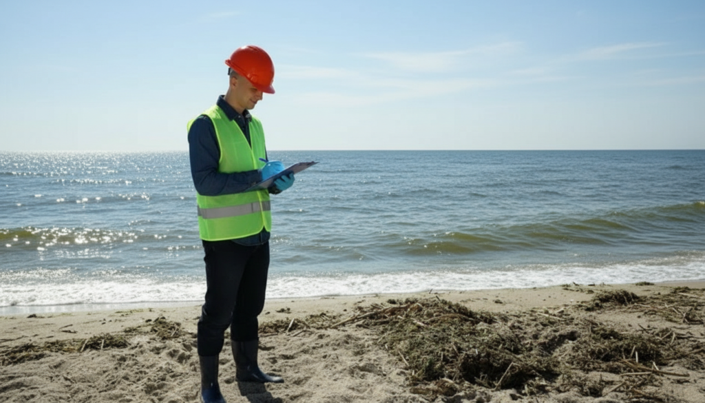
Coastal & Nearshore Survey
Shoreline & beach profiling
Coastal erosion monitoring
Nearshore bathymetry
Quick Links
Home
Technology, Quality & Safety
Contact
Onshore Survey Services
Land & Engineering Survey
Aerial Survey / UAV (Drone Survey)
3D Laser Scanning
Deformation & Monitoring Survey
Geophysical & GPR Survey
CAT4 Utility Survey
Soil Investigation & Material Testing
Offshore & Marine Survey Services
Hydrographic & Bathymetric Survey
Sonar Surveys
Marine Geophysical Survey
Dredging & Reclamation Survey
Offshore Positioning & Navigation Support
Coastal & Nearshore Survey
GIS Services
Mapping & Visualization
Spatial Data Collection & Management
Spatial Analysis & Modeling
Urban & Regional Planning
Infrastructure & Utility Mapping
Environmental & Natural Resources
Surveying & Engineering Integration
Disaster & Risk Management
Web GIS & Enterprise Solutions
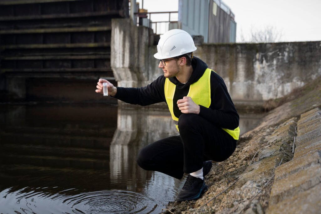
Underground Utility Survey
CAT4 Cable Avoidance Tools (Power, Radio & Genny modes)
Ground Penetrating Radar (GPR) for non-metallic utilities
Electromagnetic pipe and cable locators
Passive and active signal detection
Manhole, chamber, and valve inspections
Vacuum excavation (trial pits) for confirmation if required
© 2026 Created with dunlinsurveys
Facebook-f
X-twitter
Instagram
Tumblr
Vimeo-v
Scroll to Top